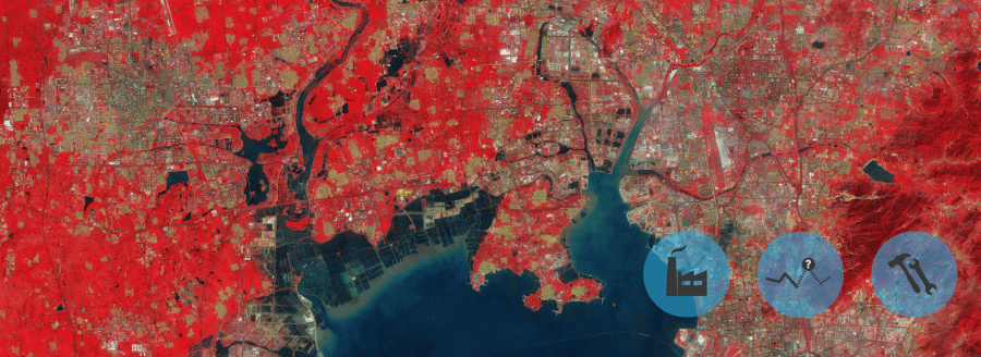
The main objective of MarcoPolo is to improve air quality monitoring, modelling and forecasting by improving the emission database over East China using satellite data on a monthly basis. A new emission inventory is constructed by combining Chinese and European expertise. It is based on recent satellite data and GIS (Geographic Information System) information.
MarcoPolo project was conceived for strengthening the Sino-European co-operation, like ESA-MOST DRAGON programme and the earlier Air quality Monitoring and Forecasting In China (AMFIC) also do. In fact, this co-operation is vital for the success of the validation activities and the construction of the emission inventories of the project.
A wide range of satellite data will be used: observations of nitrogen dioxide (NO2), sulphur dioxide (SO2), formaldehyde (HCHO), tropospheric ozone (O3), volatile organic compounds (VOCs) and aerosol/particulate matter (PM) from various instruments.
MarcoPolo’s products will be disseminated to the different identified end-users. The indicators of air quality will be presented to end-users in compliance to international standards and recommendations (e.g. AirINFORM, INSPIRE). The generated images of emissions and of air quality assessments and forecasts on the MarcoPolo web site can be interactively customized.
In this project isardSAT is responsible for the “Plan for exploitation of the project results” within the Data Dissemination and Public Outreach strategy.
A plan will be made for exploitation of the project results via multiple media, including smartphone apps, web services, etc.
To do this plan, several tasks will be needed:
- Identification of Key indicators for air quality monitoring
- Analysis of public available data in China for air quality
- Definition for potential markets and their needs
- Definition of data policy
- Technical requirements
- Business plan definition
Finally, isardSAT will develop an App that will be the official App of the project. This App will basically show the air quality indicators for today and forecast for the current location.
Ves a la web del projecte